-40%
⫸ 2008-5 May CHINA Journey Rock Water FORBIDDEN CITY National Geographic Map A1
$ 1.76
- Description
- Size Guide
Description
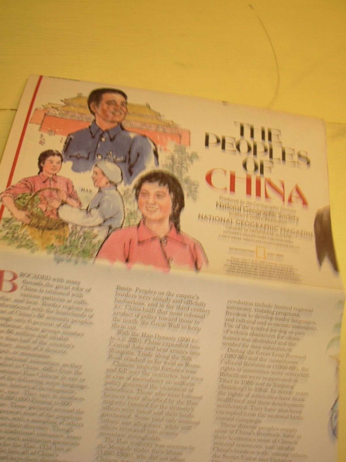
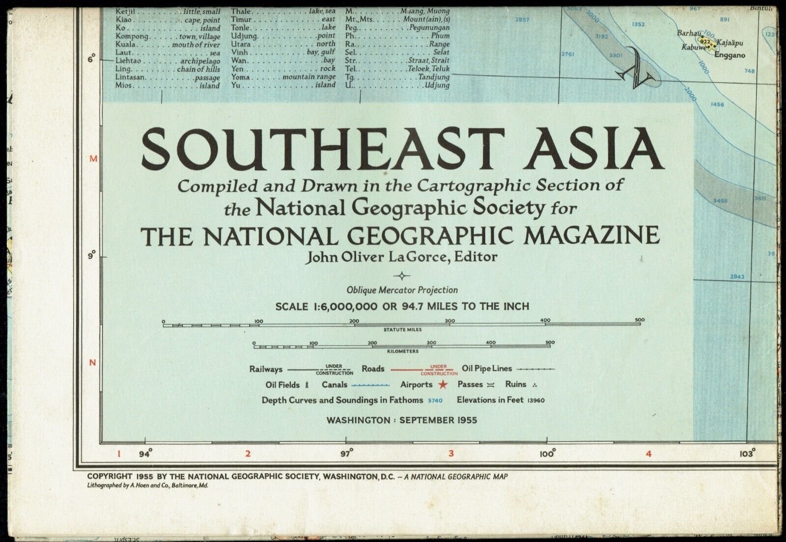
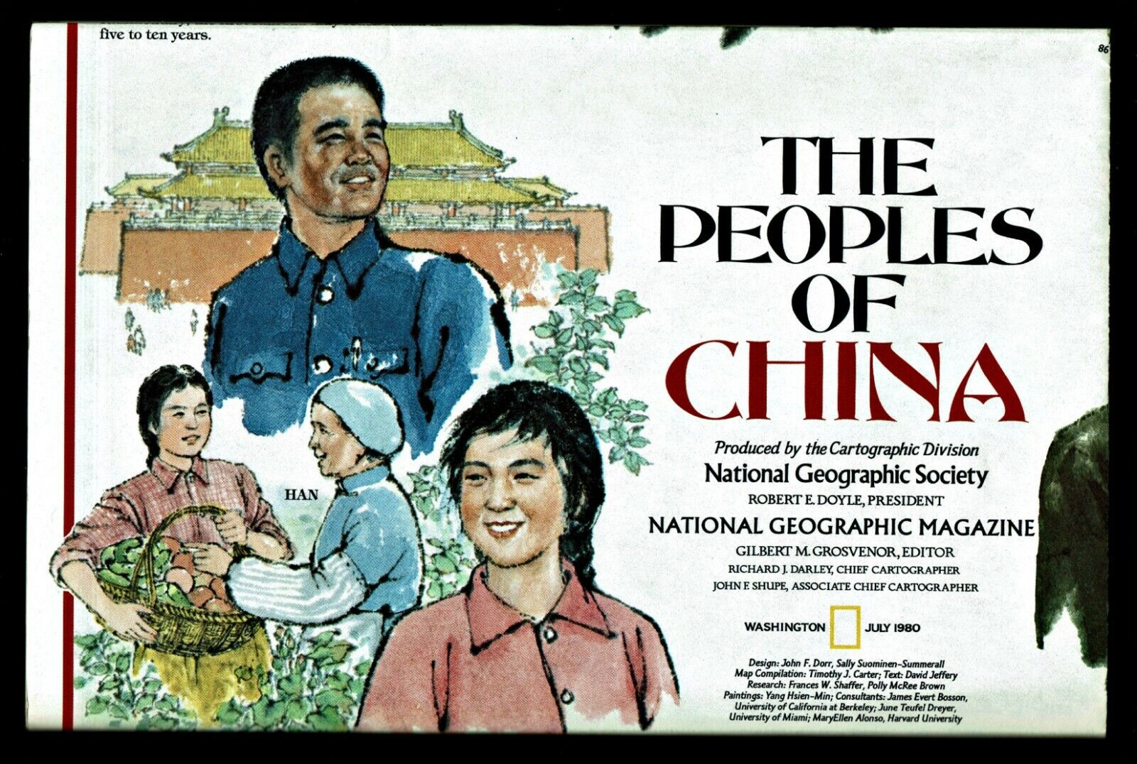
2008-5 May CHINA, Journey of Rocks & Water - FORBIDDEN CITY Geographic Map Poster SchoolOne of the most dramatic collisions between tectonic plates changed the land of now China, raising the Himalaya's to the west, creating deserts to the north, and vast areas with monsoon rains to the southeast. China is the world's fourth largest country, with Earth's largest population. This is a study of geographic China. On the map-side is a classic National Geographic physical map color-coded according to the typical land cover of that area, and with surrounding countries in faded outlines. There are identifications and descriptions or the primary regions in China: the Himalayas, the Deserts, Loess Plateau, Karst, Sichuan Basin, North China Plain, and the Boreal Mountains. An excellent study of China. The reverse art-side contains an illustration of the Forbidden City in the heart of Beijing. It identifies the major structures, and depicts the wedding celebration of the Guangxu Emperor in 1889. Across the bottom is a time-line of rulers, from the Ming Dynasty in 1368 to the current Peoples Republic of China.
Map measures approximately 20” x 31”.
The National Geographic is known for it's fine maps & detailed information.
Supplement to the National Geographic Magazine; magazine is not included.
Always use your cart to obtain any discounts!
U.S. Shipping
- Please select:
1) USPS Mail Service or Media Mail (average delivery time) .50 for the first item and 50
¢ for each additional item.
2) USPS Package Service (faster delivery and with tracking) .00 for the first item and 50¢ for each additional item.
SAVE - MAP SALE - Select ANY 5 Maps - The lowest priced item is
FREE
- See eligible items above (top left).
x
x
x


