-40%
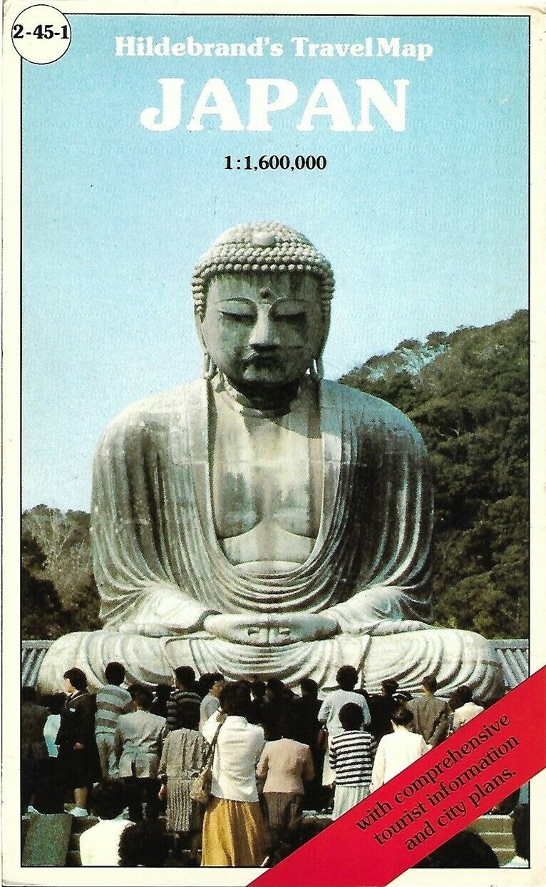
1985 Road Map JAPAN Railways Airports Temples Osaka Tokyo Buddha Okinawa Hitachi
$ 4.21
- Description
- Size Guide
Description
Handsome large-format fold-out Hildebrand travel map of Japan.The map is drawn on a scale of 1:600,000 and opens to 132 x 47 cm [52" x 18½"].
Details include roads, railways, shipping routes, airports, temples, parks, and other points of interest.
Specific named places and features include Osaka, Nagasaki, Shikoku Island, Kagoshima, Kinki, Shizuoka, Hamamatsu, Beppu, Yokohama, Hitachi, Hakodate, Kagawa, Hirara, Okinawa, Matsue, Kobe, and Tokyo.
The map was published by Karto+Grafik Verlagsgesellschaft mbH, Frankfurt, Germany, circa 1985. It folds into stiff coated boards with a cover photo of the Great Buddha of Kamakura on the grounds of Kotokuin Temple.
Condition:
This map is in very good condition, bright and clean, with
no
marks, rips, or tears. It is blank on the back with no printing on the reverse side. Please see the scans and feel free to ask any questions.
Buy with confidence! We are always happy to combine shipping on the purchase of multiple items — just make sure to pay for everything at one time, not individually.
Powered by SixBit's eCommerce Solution
